


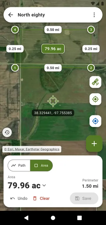
Walk it or draw it
- Walk the field: along the boundary, phone in hand; area and perimeter grow as you walk, and the app says when the loop is closed.
- Corner by corner: stand at each corner and press +; the position is averaged.
- Draw on the map: tap the corners on the satellite view, take out a pond or a building, read the length of every side.
Tape or record
Enter measured lengths: the sides and diagonals measured with a tape, like a surveyor. Type the area: the area written in your land record. Acres, hectares, square feet or square metres, the South Asian land units, or a Custom unit.
Good enough to buy, not a survey
A GPS walk shows its ± figure. It is a measurement for buying inputs, not a legal survey.